This is the ideal trek in Bhutan and is the most popular trek in the country. It offers you an amazing view of natural landscape of blue pine forests, high ridges and pristine lakes while you will also get to visit some highlander ancient Monasteries, Dzongs (fortresses) and villages.
This is a relatively easy trek and takes you through forests of fir, blue pine and dwarf rhododendrons at altitudes ranging between 2400-4200 m. On the third day, you will arrive at the Jimiling Lake, whose crystal clear waters are home to gigantic trout. You will also get stunning views of Mt. Gangkar Puensum, the highest unclimbed mountain in the world.
Duration: 6 Days
Detailed Itinerary
Day 1: Paro – Jili Dzong
Distance 7 km, 4-5 hours, 1,090 m ascent, Camp altitude 3,480 m.
You begin the trek from the Ta Dzong (National Museum) in Paro. You will climb more than 1,000m today. The trail is a path past a few farms for about 30 minutes leading to climb a steep ridge before leading through blue pine and fir forests to Damche Gom. Once you reach the ridge below Jili Dzong, you descend about 100m to the campsite below the Dzong.
Day 2: Jili Dzong – Jangchulakha
Distance 10 km, 4-5 hours, 310 m ascent, 50 m descent, Camp altitude 3,770 m.
You start the trek with a steep climb for about 90 minutes following which the trail evens a bit and then the ascent becomes more gradual. The trail takes you through thick alpine forests and dwarf rhododendron tress. You may see herders and their yaks around your campsite.
Day 3: Jangchulakha – Jimgelang Tsho
Distance 11 km, 4 hours, 230 m decent, 330 m ascent, Camp altitude 3,870 m.
The trail follows a ridge and on a clear day the view of the mountains and valley are stunning. The campsite is close to the Jimgelang Tsho Lake. This lake is known for its giant sized trout.
Day 4: Jimgelang Tsho – Simkotra Tsho
Distance 11 km, 4 hours, 820 m ascent, 400 m descent, Camp altitude 4,110 m.
The trail takes you through dwarf rhododendron trees and past Janetso Lake. You may come across some yak herder camps where you will have the opportunity to get a glimpse the life of the highlander community in the region. The campsite is close to Simkotra Tsho Lake.
Day 5: Simkotra Tsho – Phajoding
Distance 10 km, 3-4 hours, 130 m ascent, 680 m descent, camp altitude 3,750 m.
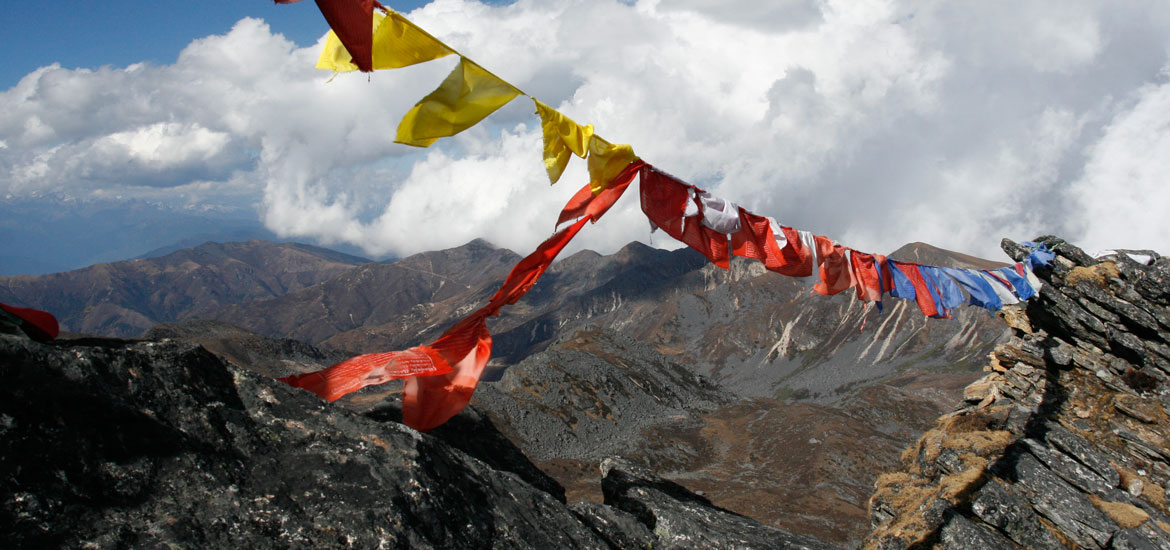
The day begins with a gradual climb. If weather permits, you will have a spectacular view of Mount Gangkar Puensum, the highest mountain in Bhutan and several other Himalayan peaks. From this Pass, the trek takes you downhill towards Phajodhing where you will halt for the night. The camp is located just above Phadjoding Monastery.
Day 6: Phajodhing – Mothithang
Distance 4-5 km, 3 hours, 1,130 m descent.
After passing Phadjoding monastery, you will trek downhill towards Motithang in capital Thimphu through a forested area of mostly blue pine. The walk, at a leisurely pace, takes about three hours.
Druk Path – Concludes
The Druk Path concludes at the Bhutan Broadcast Service (BBS) Telecommunication Tower, offering great view of the capital Thimphu city.